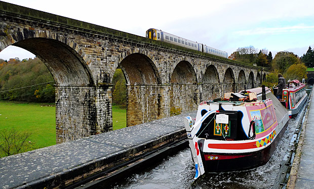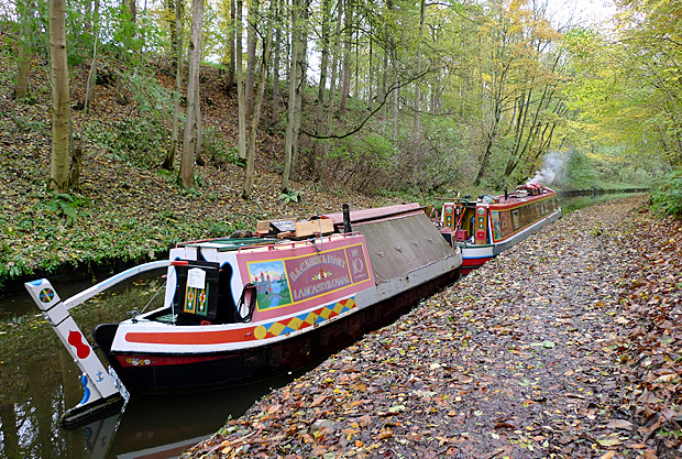
Google Maps has teamed up with the UK’s Canal and River Trust to provide mapping information on 2,000 miles of canal and river paths across England and Wales.

The search engine giant’s deal with the UK charity will help maps be updated with details of all the access points to the waterways, and also list bridges and tunnels.
It’s a very exciting project – Google is basically putting the canal network of England and Wales on the map, and people will be able to put in a route and if it’s appropriate to go by canal, they would go by canal.
A lot of people live by canals, and we want them to use these canals – so to have Google promoting the waterways is a really exciting initiative.
Ed Parsons, a ‘geospatial technologist’ (they sound cool) at Google UK added:
Canal towpaths offer green routes through our towns and cities, and by working with the Canal and River Trust we’re adding towpaths to Google Maps and encouraging people to discover their local waterway.
There’s no details of when the waterways data will be incorporated into Google Maps, but we’re loving the sound of being able to find car-free, greener walking routes. Nice one, Google.


Good news, I really hope my long derided plan for canal ‘street view’ is coming true.
Hey Google, I’ll strap a camera to the boat and do the whole system if you’ll pay the bills!
When a lock is entered on google,for instance, torksey lock,or any other,google maps does not know what a lock is and goes nowhere near!